Vineyards Shop
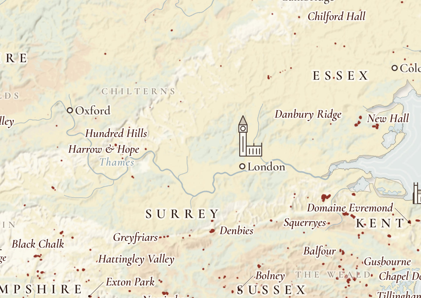
England & Wales Vineyard Map Poster – Where the Vines Grow
Regular price
€100,00 EUR
Regular price
Sale price
€100,00 EUR
Unit price
per
Tax included.
Shipping calculated at checkout.
Couldn't load pickup availability
Where the vines grow in England and Wales. Vineyards are drawn in red on a relief map, showing how the plantings gather on the chalk and greensand of Kent, Sussex and Hampshire and thin out north and west.
Leading estates are placed on the map, among them Nyetimber, Chapel Down, Gusbourne, Ridgeview, Hambledon and Camel Valley.
- Vineyards: from OpenStreetMap; about four fifths of the planted area is mapped, and vineyard areas are enlarged for legibility.
- Geology: chalk of the North and South Downs, greensand and Wealden sandstone, clay in Essex, sand and gravel in East Anglia.
- Figures: hectares and main grapes by county, 4,841 hectares and 1,104 vineyards in all (WineGB Industry Report 2025).
- Also on the map: rivers, hill ranges, summits, cities and landmarks.
- Format: portrait (taller than wide).
- Paper: premium matte, 200 gsm (80 lb), FSC-certified or equivalent.
- Available sizes: A1 (rest of the world) and 24 × 36 in (US and Canada).
Printed on demand and shipped in robust packaging.